2005 07 30 Candelaria, Marietta, Warm Springs
2005 07 31 Tonopah to Ely, Warm Springs, Tybo, Lunar Lake
2005 08 01 Ward, Thunderstorms
2005 08 02 US50 Road Cut, Grand Deposit, Stonehouse
2005 08 02 US50 Road Cut, Grand Deposit, Stonehouse
One of the sites that the BLM archaeologist pointed me at is called "Grand Deposit", and it is in the Spring Valley, to the easy of Ely. US6,50, and 93 are all one road heading out of Ely to the southeast and over the Connors Pass, towards Great Basin National Park and Utah. In the valley Nevada 893 heads straight north and eventually goes to gravel.
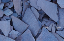
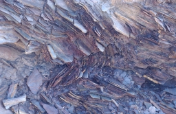
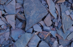
But in the Connors Pass are some of my favorite rocks. I thought I could drive by, but couldn't.
 |
 |
 |
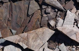 |
The top right shows you how stress these rocks are, and the lower right shot shows you what they look like in full sunlight. Not as interesting, I think. The two left shots are in shadow, but with full sun. The rock really picks up the light in the the sky.
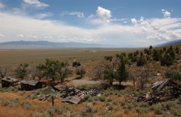
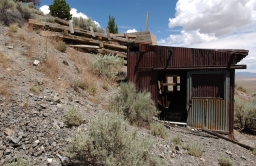
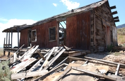
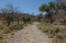
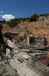
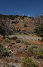
This is Grand Deposit. It's about 35 miles up the Spring Valley, and a long way from anywhere. There is some ranching in this valley, since it gets fairly green in the north.
The first three shots are looking over some of the residences that had the best view out into the Spring Valley. Wheeler Peak and Great Basin National Park are about 40 miles away.
 |
 |
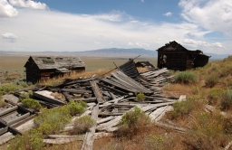 |
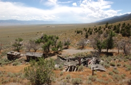
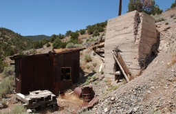
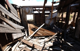
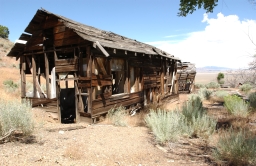
The next few are of the remains of the town, and some of the utility buildings for the mine.
 |
 |
 |
 |
 |
 |
 |
 |
 |
 |
 |
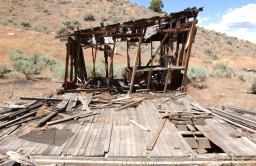 |
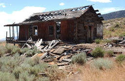
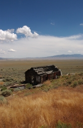
Most of the structures above are residential, although the third shot in the last row appears to have been a store. There was also a communal bath/shower and a large "work" building. The building in the top row is a utility building that was part of the machinery that brought ore from the mine. The first shot in the last row was the "Main Street", nicely planted with cottonwoods, most of which are still alive. You can see from the distance shots (like the one below) how far above the valley this is, and how long the journey must have been into Ely. But it is a spectacular location.
 |
Here are a couple of shots looking up the hill to the road that goes around to the mine. I did not make this drive, this time. I will another time.
 |
 |
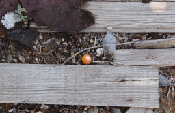
This little orange thingie is a mystery to me. There were a bunch of them lying around in the sage. They are about 3/4 inch across, filled with water, plastic, and soft. They will burst if you step on them. No idea..
 |
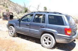
The Jeep, contemplating it's fate in the sage. One of it's ancestors, no doubt.
 |
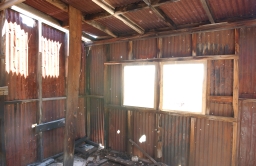
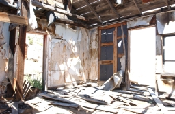
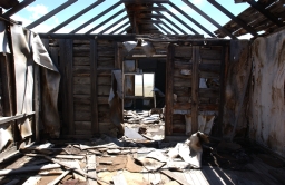
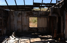
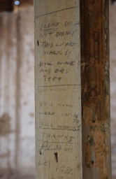
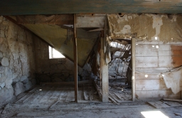
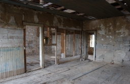
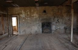
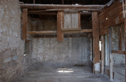
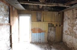
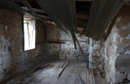
About 20 miles further up the Spring Valley is the "Stone House" that I have visited once before. This is a remarkable structure. It's extremely well built, truly in the middle of nowhere, and still quite fit. The next shot is writing on one of the walls. Whoever put it there is urging people to leave the structure alone, and almost 20 years later he comes back to say "thanks"! Some work has been done to brace one of the exterior stone walls since I last saw it. It's nice that someone is caring for this structure.
 |
A lot of interior shots of the house. Cool colors, some effects from things blowing in the high wind. This was a good session with the camera.
 |
 |
 |
 |
 |
 |
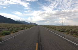
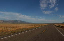
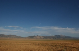
On the way back down and around to Ely I stopped to snap a few of the huge wide valley and Wheeler Peak in the distance. These valleys and mountain ranges really are spectacular and very serene. The tallest mountain in the lower left picture is Wheeler Peak, probably 30 miles away. The top two look back north, the bottom two look south and southeast.
 |
 |
 |
 |